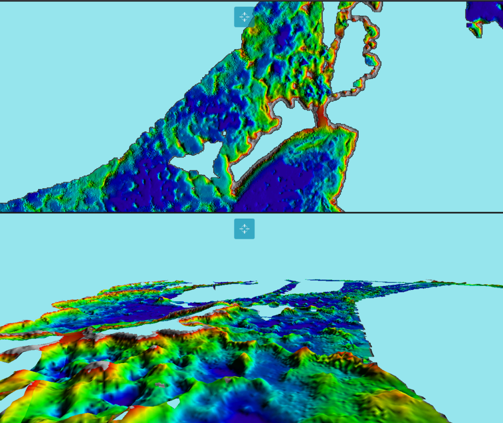
Unlock unparalleled underwater insights with WASSP Multibeam Sonar, an industry-leading solution for precise seafloor mapping and target identification. Engineered for commercial fishing, hydrographic surveying, and marine research, WASSP delivers detailed, high-definition data on seabed composition, structures, and biomass. This advanced multibeam sonar offers real-time, 3D imaging, enabling more informed decision-making for vessel operators. With WASSP, navigate confidently, improve fishing yields, and reduce operational risks—all with a comprehensive view beneath the surface. Discover why professionals rely on WASSP for accuracy, reliability, and enhanced marine operations.

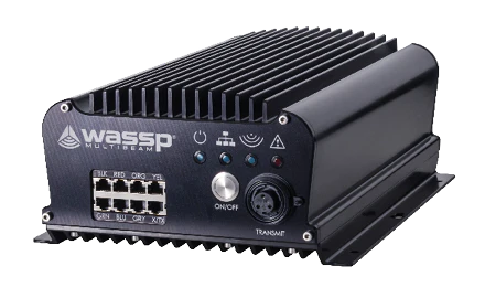
The WASSP F3 multibeam sonar brings exceptional detail and clarity to your seafloor mapping and fish-finding capabilities. Designed with the commercial fisherman in mind, the F3 delivers high-resolution images and precise data, enhancing underwater visibility and efficiency. Seamlessly integrated with TimeZero, this powerful combination allows for real-time, dynamic chart plotting and data overlay. With TimeZero’s intuitive interface, users can view and interpret WASSP F3 data effortlessly, maximizing situational awareness and decision-making accuracy. Together, WASSP F3 and TimeZero set a new standard in marine navigation, providing the tools you need to stay ahead on the water.

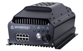
The WASSP F3X is designed for users who demand the highest level of detail and performance in seafloor mapping and fish detection. With increased power and precision, the F3X provides ultra-clear images and deeper insights, ideal for commercial applications that require advanced sonar capabilities. When integrated with TimeZero, the F3X becomes even more powerful, allowing real-time data synchronization, 3D bathymetric mapping, and seamless data overlay on customizable charts. This synergy between WASSP F3X and TimeZero offers a complete, intuitive navigation and mapping solution, ensuring that you have the most reliable information to optimize every voyage.

The WASSP CDX software is a powerful control and visualization platform designed specifically for managing and interpreting multibeam sonar data. Tailored for commercial users, CDX software simplifies complex sonar operations, allowing for seamless control over beam angles, data collection, and display settings. With intuitive real-time mapping, seabed classification, and target detection capabilities, CDX software ensures that you can capture and analyze high-resolution underwater data effortlessly. Compatible with a range of multibeam sonar systems, the WASSP CDX software is an indispensable tool for those who require precision, flexibility, and clarity in every survey and mapping task.
